ambassadors
Welcome to the Motorcycle-Diaries top ten best unknown roads in Europe. These roads haven't made headlines simply because they're not in the Alps, or maybe they're close to a famous route that steals the show. But that doesn't stop every one of them being a fantastic riding road. How many do you already know? How many are you yet to discover?
SP389, ORUNE - NUORO
Twisty, Countryside, Pigs
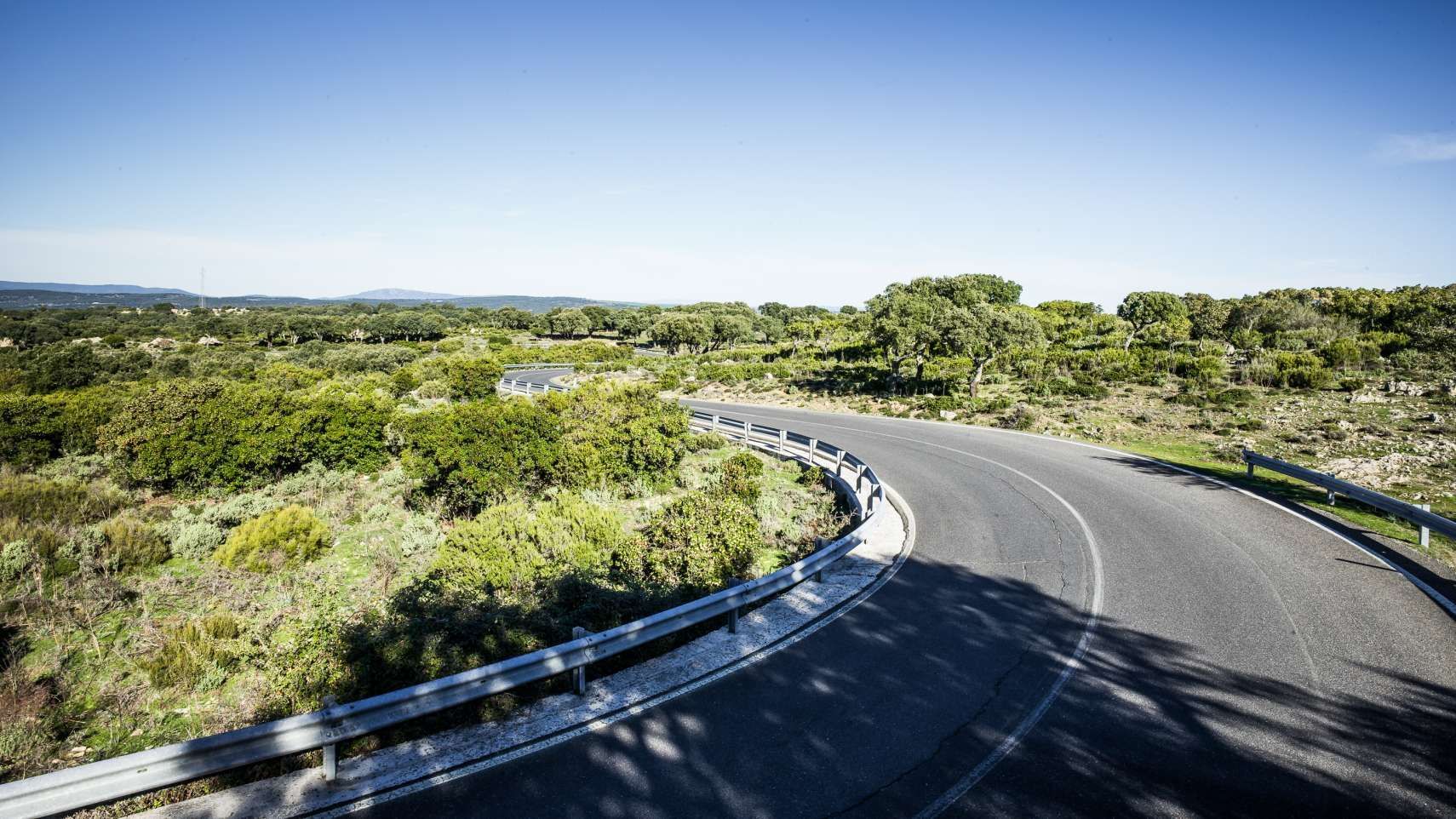
Location: Sardinia
Length: 20km
View: 3/5
Surface: 4/5
Pleasure: 5/5
Sardinia is the second largest island in the Mediterranean behind Sicily. But that's not why the island is famous in motorcycling circles: this place has near-perfect tarmac, and the SP389 is no exception.
From Orune, the road trickles through a rich plateau of shrubland, small trees and the odd family of pigs before descending 400 metres towards the town of Nuoro. It's a curvaceous route, even when a straight line would have been simpler. We're not complaining, though. Mediterranean weather means almost no rainfall hits the island in summer.
Survive the boat ride from the mainland and chances are you'll be greeted by warm sunshine and a steaming road surface.
See the SP389, ORUNE - NUORO on the map.
L83, BÜHLERTAL - RAUMÜNZACH
Fast Curves, Conifers, Lakeside
Location: Germany
Length: 16km
View: 4/5
Surface: 5/5
Pleasure: 4/5
This fast road is nestled in the northern reaches of the infamous Black Forest in Germany. The B500 may be the most well-known riding road round here, but it's by no means the only one. Escape the tourists and speed cameras and ride the L83.
Leave Bühlertal and climb the hillside to the east. Look back the way you came at the Wiedenfelsen viewing platform. It's on an enjoyable tight left-hander so you've got to choose what's more important: riding pleasure or viewing pleasure.
After the ascent, the road east becomes smooth and fast before passing alongside an artificial lake and the Black Castle dam.
See the L83, BÜHLERTAL - RAUMÜNZACH on the map.
E65, SENJ - PRIZNA
Coast, Cliffs, Curves
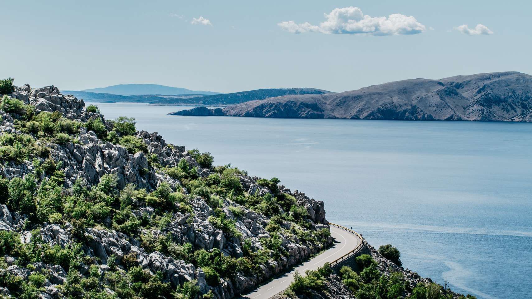
Location: Croatia
Length: 20km
View: 4/5
Surface: 4/5
Pleasure: 4/5
Croatia's Adriatic coastline is a mixed bag of marvellous views, delicious corners, fun-limiting village speed limits, and questionable road surfaces. The E65 between Senj and Prizna, however, provides less of the latter two, and more of the fun stuff.
The islands of Rab, Pag, and in the distance, Cres, laze in the sun haze while you wind on the throttle under a clear blue sky. The tiny Route 406 leading from the coast road to the Pag ferry is worth a ride even if you're planning on staying on the mainland. And if you are, keep on riding the coastline south of Karlobag.
Most of the tourist traffic has headed off east by this point, and this newly-asphalted section is an absolute delight. The corners just north of Lukovo Šugarje are especially incredible.
See the E65, SENJ - PRIZNA on the map.
N266, NAVA REDONDA - PORTO DO LAGOS
Tight, Technical, Short Straights
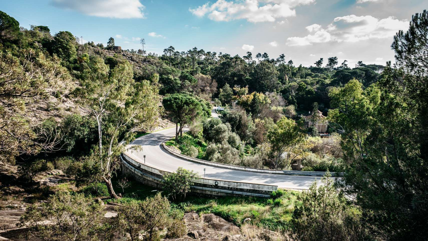
Location: Portugal
Length: 36km
View: 3/5
Surface: 4/5
Pleasure: 3/5
Like a good road to test your riding skills? The N266 might just be your favourite on this list. Burrowing through southern Portugal, it is full of blind bends, cross views partly obscured by trees, and short straights intersected by tight corners.
It's perfect terrain for a torquey naked that pulls like a train between the bends. Stop off at Cafe Imperio in Caldas de Monchique for a plate of jamón and a glass of water. In this heat it's important to rehydrate between rides.
See the road here.
SS25, SUSA - French border
Switchbacks, Valley Views, Forest
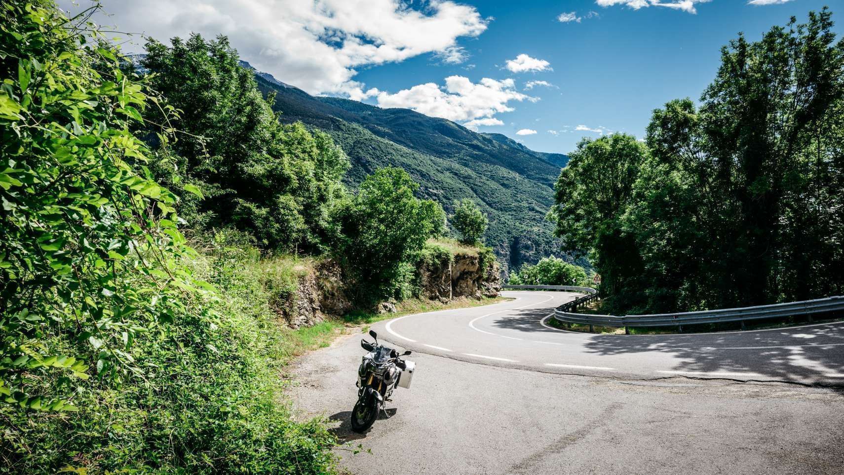
Location: Italy
Length: 15km
View: 4/5
Surface: 4/5
Pleasure: 4/5
The SS25 is a steep, always-ascending staircase out of the Cenischia Valley. The full pass continues into France as the D1006, passes Lac du Mont Cenis and switchbacks its way down into the town of Lanslebourg-Mont-Cenis.
Views are still dramatic on the French side, but the Italian road surface is a trump card the French cannot beat. There is literally a line in the road where the tarmac swaps between Italian grey and French beige.
See the SS25, SUSA - French border on the map.
N338, SERRA DA ESTRELA
Short, Smooth, Sublime
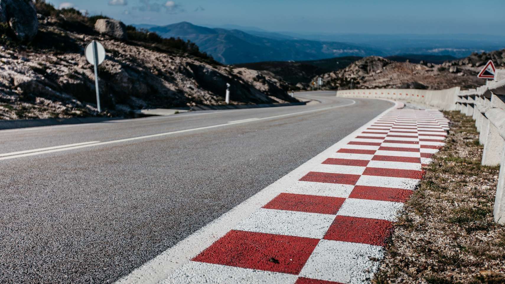
Location: Portugal
Length: 9km
View: 4/5
Surface: 4/5
Pleasure: 5/5
The N338 is perfect for riders who like their roads to be decked out in racetrack red-and-white hashings. The best surfaces can be found to the west, but deteriorate closer to the summit.
That's not a problem, as you'll be slowing down anyway to drink in the vast panoramas over the Serra da Estrela National Park. Just remember: this all happens at an altitude of 1,993 metres, so check the weather forecast before going, and expect your bike to loose a quarter of its power on the way up.
See the N338, Serra da Estrela on the map.
D205T, COL AGNEL (Frnch side)
Alps, Snow, Single Lane
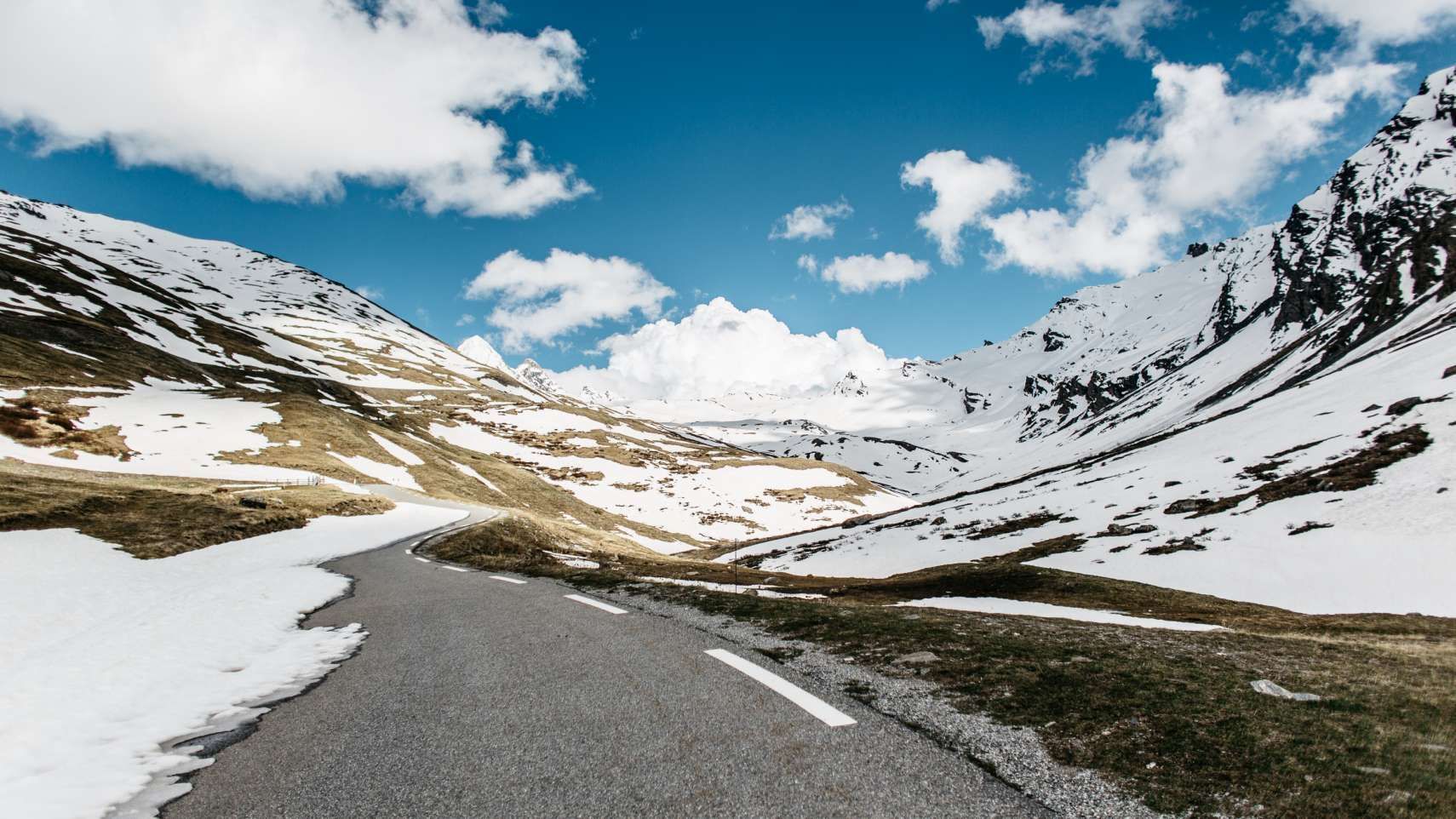
Location: France
Length: 15km
View: 5/5
Surface: 3/5
Pleasure: 4/5
Not usually open until 15th June, the Agnel Pass spends a lot of its time covered in snow. Not surprising, of course, when you reside at an altitude of 2,744 metres.
And while we may not have heard of it, it is the third highest pass in the Alps, behind the Stelvio Pass and Col de l'Iseran. There are suggestions that this was one of the routes used by Hannibal and his elephants to attack Rome in the Second Punic War.
See the D205T, COL AGNEL (Frnch side) on the map.
C462 - SOLSONA - SANT-LORENÇ DE MORUNYS
Fast, Gorge, Dam Views
Location: Spain
Length: 19km
View: 4/5
Surface: 5/5
Pleasure: 5/5
The C462 blasts along through the Spanish foothills of the Pyrenees. Riding north from Solsona, you'll first come across smooth straights and racetrack-grade corners as the road follows the Cardener River back towards its source.
Gorge walls become steeper on both sides, hemming you in, until suddenly you burst out a tunnel and onto the top of a steep dam. Cliffs rise directly out of the reservoir water to the north, while the valley drops away to the south.
See the C462 - SOLSONA - SANT-LORENÇ DE MORUNYS on the map.
FV-30, ANTIGUA - PAJARA
Dramatic, Mountainous, Desert
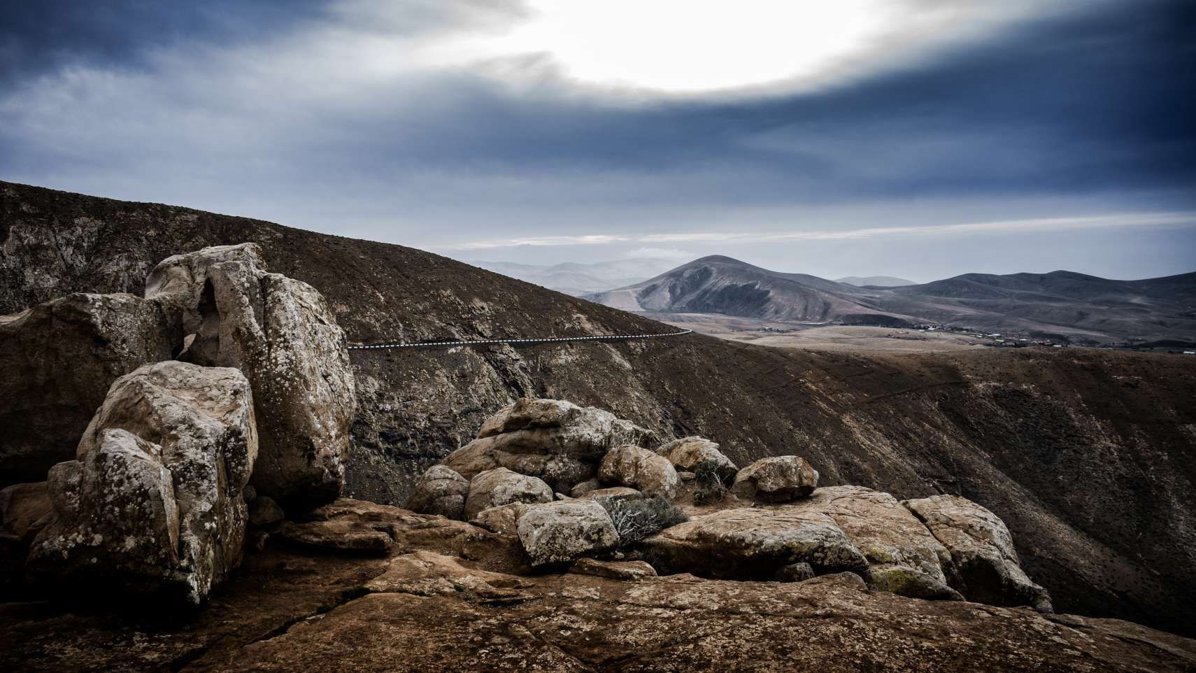
Location: Fuerteventura
Length: 25km
View: 4/5
Surface: 5/5
Pleasure: 5/5
Twenty million year old island of Fuertaventura, the oldest of the Canaries, is known primarily for its beaches. But inland, a dramatic moonscape of desert, rocky outcrops and black and red soil takes over.
It's through this terrain that some of the most enjoyable roads on the island trespass, and the landscape of the FV-30 has more in common with Morocco than of anywhere in Europe. Roads here can be sandy, especially if the Calima wind has been blowing in from the Sahara.
See the FV-30, ANTIGUA - PAJARA on the map.
AL3102, BACARES - VELIFIQUE
Spectacular, Curves, Unique
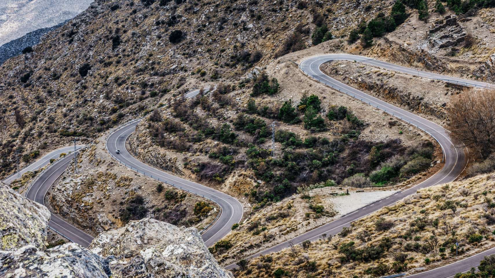
Location: Spain
Length: 31km
View: 4/5
Surface: 4/5
Pleasure: 5/5
One look at the modestly-named AL3102 is enough to make grown motorcyclists weep. In pictures it looks like a dream come true: curve after curve, slicing again and again across Spanish hillside, no switchback too tight, no straight too long.
Riding the thing only serves to cement the thought that this must be one of the best roads in Europe. The only issue? Sometimes it can become pretty cold this high in the Sierra de Los Filabres mountain range.
See the AL3102, BACARES - VELIFIQUE on the map.
Do You Know a Secret Road?
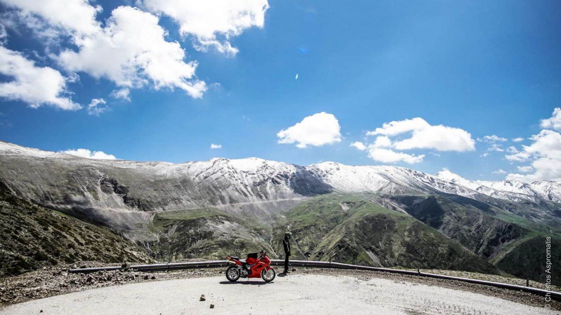
Thanks to Christos Aspromatis for uploading the dramatic Mparos Pass in Greece.
Share your favourite roads with the Motorcycle-Diaries community by adding them to our road atlas. Upload inspirational photos and a short description and you could be in with a chance of winning our monthly competition.
Each month we give away a complete Motul package to the member who submitted the best road that month. This competition happens each and every month, so every month you have a new chance to win.


